- Created by Afsaneh Yazdani, last modified on Jul 13, 2021
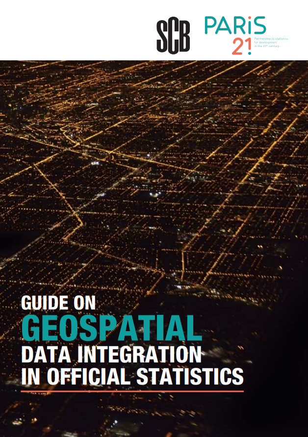
We can get a much clearer picture of the development challenges faced by humans and the environment when data from national statistical offices (NSOs) are combined with geospatial data. But integrating traditional data and geospatial data requires a tactical approach.
This guide provides comprehensive, step-by-step guidance for NSOs in low and middle-income countries to overcome challenges and seize opportunities to obtain better data for better lives.
Download the paper at paris21.org/geospatial

Overview
Content Tools
ThemeBuilder
Apps
Powered by a free Atlassian Confluence Community License granted to https://www.atlassian.com/software/views/community-license-request. Evaluate Confluence today.
- Kolekti ThemeBuilder Powered by Atlassian Confluence 8.5.9
- Kolekti ThemeBuilder printed.by.atlassian.confluence
- Report a bug
- Atlassian News